
What do I need to do in order to start my learning experience at GeoWing Academy?
It’s very simple! Go to the course you would like to do under the “Courses” tab and click “Add to Cart”. Then once you have added the courses you would like to do to your cart, you can go to “Proceed to Checkout”. Fill in your details (which will be your GeoWing Academy Account information including passwords etc.), agree with the T&Cs and purchase the course using PayPal or debit/credit card. You will then recieve an email with your new Username for when you want to log into your account (you may also use your email address). You will also recieve an order recieved email (please remember to check your spam folder if you do not recieve the emails mentioned above).
Once this process is complete, you can Log In to your GeoWing Academy Account and gain access to the My Account and My Dashboard options where you can change your details, access the courses, follow your progress, do the questionnaires, purchase other courses and more easily.
Its that easy, enjoy your learning experience with GeoWing Academy!
How long do I have access to the courses for?
Once you have purchased a course, you have access to it forever as long as you are subscribed to GeoWing Academy.
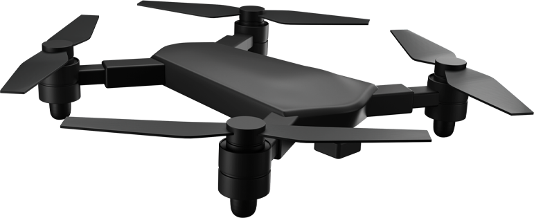
Do I need my own drone to do these courses?
No. All GeoWing Academy courses come with free drone data sets for your convenience.
Also, if you are not able to acquire photogrammetry software for the processing of the raw data in the Keystone Foundation Course Part 3, do not worry! Free pre-processed data is available for your convenience.
What is photogrammetry, and why is it important?
Photogrammetry is the process of creating 3D models, digital surface models, terrain models, elevation models and high resolution maps from 2D images. It’s essential for accurate mapping and analysis in fields like construction, agriculture, and environmental monitoring. The Keystone Foundations Course introduces you to photogrammetry.
What is GIS, and how does it integrate with drone data?
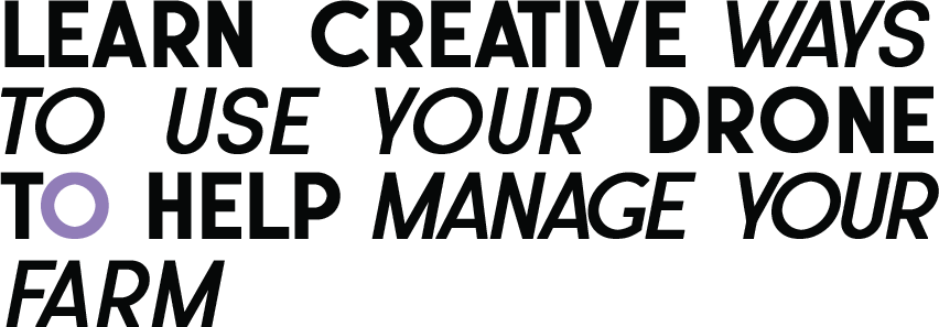
GIS (Geographic Information System) is a tool for analysing spatial data. Drone data (maps and models) is up-to-date unlike some satalite or aerial data availabel to the public and by using this data in GIS software allows you to quantify real world data accuratly and quickly. For example; you are a mine manager and want to calculate the cubic metres of all your stockpiles on site. By using a drone to collect the raw image data, photogrammetry to build the required maps and models you can now quantify all your stockpiles in a morning, tabulate the results and send out the report the same day. This porcess would take days if not weeks using traditional survey methods. The Keystone Courses (Foundation, Intermediate and Advanced) introduces GIS concepts and will take you from complete beginner to capable user in the shortest time possible. The conservation courses use GIS methods for all things specific to conservation management, while mining and industry focus on quantifying earthworks in complex environments using different GIS software methods. The Agriculture courses will teach you how to use UAV based data to manage crops and help with farm management and maintenance and so much more.
What is a point cloud, and why is it useful?
A point cloud is a collection of data points in space representing the external surface of objects in three dimensions. It’s crucial for creating detailed 3D models and analysing terrain, vegetation, change detection, complex volume calculations in noise environments and so much more. The Keystone Foundation Course introduces point clouds, while the Intermediate Course dives into their applications. The conservation courses often use point cloud analysis for environmental data quantification while the industrial/mining courses use point clouds for complex volume calculations and analysis.
My course video is small & the quality is low & I cant see the content correctly, what do I do?
To switch between full screen and small screen, simply double click the video window while the training video is playing. Go to the video “Settings” (gear in the bottom right of the screen) and change the video quality to 720p or 1080p HD to increase the quality of the training video.
Does GeoWing Academy do satellite based GIS?
No, GeoWing is exclusively for high resolution UAV GIS. Drones are able to map areas anytime anywhere in much higher detail. This is more convenient for the person needing to digitise a landscape as satellite data sets of rural areas often lack high definition or 3D data and can be very out of date.
Title

Title
Title
What do I need to do in order to start my learning experience at GeoWing Academy?
It’s very simple! Go to the course you would like to do under the “Courses” tab and click “Add to Cart”. Then once you have added the courses you would like to do to your cart, you can go to “Proceed to Checkout”. Fill in your details (which will be your GeoWing Academy Account information including passwords etc.), agree with the T&Cs and purchase the course using PayPal or debit/credit card. You will then recieve an email with your new Username for when you want to log into your account (you may also use your email address). You will also recieve an order recieved email (please remember to check your spam folder if you do not recieve the emails mentioned above).
Once this process is complete, you can Log In to your GeoWing Academy Account and gain access to the My Account and My Dashboard options where you can change your details, access the courses, follow your progress, do the questionnaires, purchase other courses and more easily.
Its that easy, enjoy your learning experience with GeoWing Academy!
How long do I have access to the courses for?
Once you have purchased a course, you have access to it forever as long as you are subscribed to GeoWing Academy.
Do I need my own drone to do these courses?
No. All GeoWing Academy courses come with free drone data sets for your convenience.
Also, if you are not able to acquire photogrammetry software for the processing of the raw data in the Keystone Foundation Course Part 3, do not worry! Free pre-processed data is available for your convenience.
What is photogrammetry, and why is it important?
Photogrammetry is the process of creating 3D models, digital surface models, terrain models, elevation models and high resolution maps from 2D images. It’s essential for accurate mapping and analysis in fields like construction, agriculture, and environmental monitoring. The Keystone Foundations Course introduces you to photogrammetry.
What is GIS, and how does it integrate with drone data?
GIS (Geographic Information System) is a tool for analysing spatial data. Drone data (maps and models) is up-to-date unlike some satalite or aerial data availabel to the public and by using this data in GIS software allows you to quantify real world data accuratly and quickly. For example; you are a mine manager and want to calculate the cubic metres of all your stockpiles on site. By using a drone to collect the raw image data, photogrammetry to build the required maps and models you can now quantify all your stockpiles in a morning, tabulate the results and send out the report the same day. This porcess would take days if not weeks using traditional survey methods. The Keystone Courses (Foundation, Intermediate and Advanced) introduces GIS concepts and will take you from complete beginner to capable user in the shortest time possible. The conservation courses use GIS methods for all things specific to conservation management, while mining and industry focus on quantifying earthworks in complex environments using different GIS software methods. The Agriculture courses will teach you how to use UAV based data to manage crops and help with farm management and maintenance and so much more.
What is a point cloud, and why is it useful?
A point cloud is a collection of data points in space representing the external surface of objects in three dimensions. It’s crucial for creating detailed 3D models and analysing terrain, vegetation, change detection, complex volume calculations in noise environments and so much more. The Keystone Foundation Course introduces point clouds, while the Intermediate Course dives into their applications. The conservation courses often use point cloud analysis for environmental data quantification while the industrial/mining courses use point clouds for complex volume calculations and analysis.
My course video is small & the quality is low & I cant see the content correctly, what do I do?
To switch between full screen and small screen, simply double click the video window while the training video is playing. Go to the video “Settings” (gear in the bottom right of the screen) and change the video quality to 720p or 1080p HD to increase the quality of the training video.
Does GeoWing Academy do satellite based GIS?
No, GeoWing is exclusively for high resolution UAV GIS. Drones are able to map areas anytime anywhere in much higher detail. This is more convenient for the person needing to digitise a landscape as satellite data sets of rural areas often lack high definition or 3D data and can be very out of date.
Title
Title
