
Back in 2019, I was completely computer illiterate. Just typing out a Word document or adding field data to a basic Excel spreadsheet was incredibly challenging and usually ended in chaos and pandemonium. I had no idea that the DJI Spark drone I had bought to document my travels in Australia while working on farms in 2017 was about to change the way I saw computers.
Read More
Computers went from being an impossibly complicated pain in the butt to an absolute game changer. I would say; “A pen, piece of paper, and a calculator are plenty for recording data and crunching numbers, right? Why waste time with computer faff, they never do what you tell them too anyway”.
But now when I think about it, it is astonishing what computers allow us to do: they are circuit boards that talk to other circuit boards through 1s and 0s, providing information to other circuit boards that enable us to autonomously fly digital cameras, collect data, and convert it into insanely accurate 3D models of our world!
I can use a robot to collect data through a digital eye and a computer to interpret the data coming into that eye into something measurable… in 3D… with numerical colour information that can be used to interpret how a landscape is feeling… right now! THAT’S MENTAL!! If that doesn’t make your mind fizz a bit, think about a machine that weighed about one metric ton, interpreted data inputs, and was considered game-changing when it spat out answers in two hours. That was the astonishing work of Alan Turing’s Bombe “computer” that cracked the Enigma code during World War II, the man is a legend.
Now 84 years later compare that to tiny little chips that capture, process, analyse, and answer real-world inputs in mere seconds. If you aren’t amazed by this, you must either be asleep or not fully comprehend the incomprehensible complexity of the collective human neurons that brought this brilliant technology into existence! It is not only ball bouncingly brilliant, but breathtakingly beautiful to think about.
But I digress. The point is that GeoWing Academy is designed for everyone, I mean literally everyone. If I, a spanner with a hair do, could learn (and continue to learn) the fantastic game-changing uses of computers and how they can be used to improve the planet for the better by visualising and quantifying real-world data as it happens, then a politician can learn how to butter toast. If you want to know how more about how I got from paper notes to GeoWing Academy read my blog here
Thank you to my extremely patient and loving family who have supported me all the way. Thank you for listening to me drone (wink wink) on and on all these years; I appreciate and love you dearly.

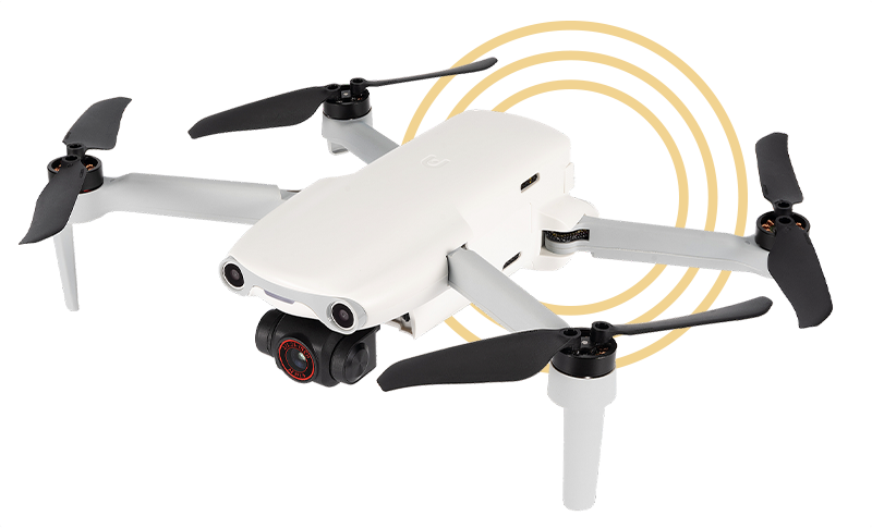

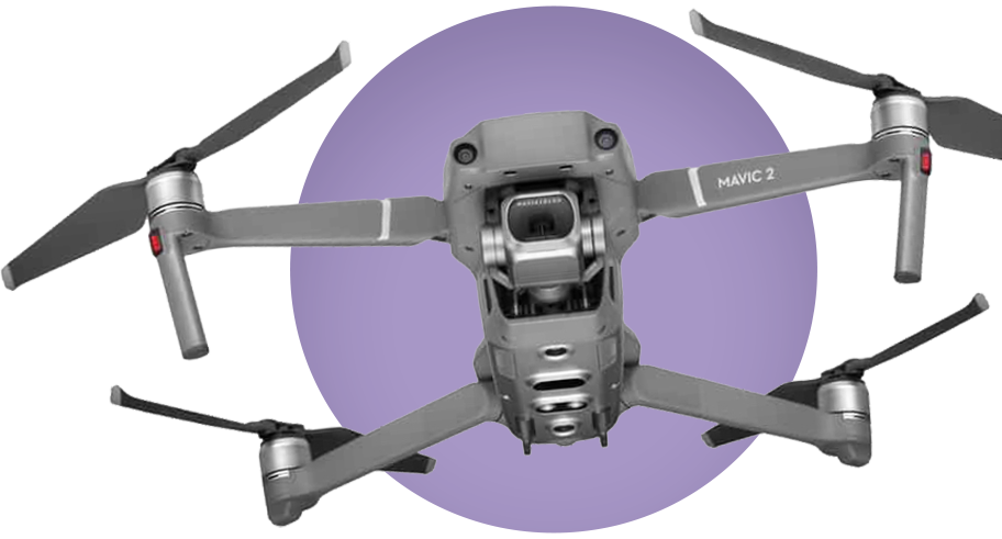
Contrary to popular belief, drones or Unmanned Aerial Vehicles (UAVs) have been around since the early 1900s. While they weren’t quite like the drones we think of today, they were certainly rudimentary versions of the flying robots we see today. Primarily used for military purposes, modern UAVs are increasingly becoming useful for various civilian applications. Many people think of consumer drones, such as DJI or Autel UAVs, as either fun gadgets for taking beautiful pictures of holidays and adventures or as annoying, invasive tools for peeping toms. While both views have some truth, there is another lesser-known use for these impressive flying robots: the science of photogrammetry and geospatial data acquisition and analysis.
Read More
GeoWing Academy aims to teach everyone how to use drones and Geographic Information Systems (GIS) as advanced tools to streamline management practices. Whether you are a conservationist monitoring changes over a large site, a farmer optimizing field management, a mine manager quantifying stockpiles, or a UAV pilot expanding your services, GeoWing Academy provides all the knowledge you need through tried and tested methods. You will learn how to apply these tools to collect real-time data and provide rapid geospatial information more accurately and quickly than ever before. Using state-of-the-art open-source software platforms and consumer drone technology, GeoWing Academy will train you how to digitise the world around you and convert that digital data into useful, comprehensible information to enhance decision-making in environmental, agricultural, industrial fields, and more.
Through a process of trial and error, both in the field and behind the computer, a best practice system was formulated and continues to develop. With GeoWing’s research and development since 2019, you will acquire the skills to set up your UAV, create automated flight plans, process the data captured by the UAV, and analyse the processed outputs in GIS software. Each course includes fun projects with free datasets provided.
While there are very expensive software and hardware platforms that offer similar outputs, they are not necessarily tailored to the user’s unique requirements. GeoWing Academy aims to provide the “Average Joe” with the tools to acquire, process, and analyse the world around them to their specific needs in a more affordable and adaptable manner.
These courses are designed to teach conservationists, industrialists, farmers, commercial UAV pilots, drone hobbyists, geospatial enthusiasts, and professionals the practical skills necessary to think outside the box, evaluate data correctly, and drive much-needed change in the world. By removing unnecessary fluff and getting straight to the point, these courses will take you from beginner to expert in a short time without compromising the quality of training. With this technology, we can not only capture and analyse information for conventional industries but also observe the earth in real-time and transform our daily practices for a better, more efficient tomorrow.
Back in 2019, I was completely computer illiterate. Just typing out a Word document or adding field data to a basic Excel spreadsheet was incredibly challenging and usually ended in chaos and pandemonium. I had no idea that the DJI Spark drone I had bought to document my travels in Australia while working on farms in 2017 was about to change the way I saw computers.
Read More
Computers went from being an impossibly complicated pain in the butt to an absolute game changer. I would say; “A pen, piece of paper, and a calculator are plenty for recording data and crunching numbers, right? Why waste time with computer faff, they never do what you tell them too anyway”.
But now when I think about it, it is astonishing what computers allow us to do: they are circuit boards that talk to other circuit boards through 1s and 0s, providing information to other circuit boards that enable us to autonomously fly digital cameras, collect data, and convert it into insanely accurate 3D models of our world!
I can use a robot to collect data through a digital eye and a computer to interpret the data coming into that eye into something measurable… in 3D… with numerical colour information that can be used to interpret how a landscape is feeling… right now! THAT’S MENTAL!! If that doesn’t make your mind fizz a bit, think about a machine that weighed about one metric ton, interpreted data inputs, and was considered game-changing when it spat out answers in two hours. That was the astonishing work of Alan Turing’s Bombe “computer” that cracked the Enigma code during World War II, the man is a legend.
Now 84 years later compare that to tiny little chips that capture, process, analyse, and answer real-world inputs in mere seconds. If you aren’t amazed by this, you must either be asleep or not fully comprehend the incomprehensible complexity of the collective human neurons that brought this brilliant technology into existence! It is not only ball bouncingly brilliant, but breathtakingly beautiful to think about.
But I digress. The point is that GeoWing Academy is designed for everyone, I mean literally everyone. If I, a spanner with a hair do, could learn (and continue to learn) the fantastic game-changing uses of computers and how they can be used to improve the planet for the better by visualising and quantifying real-world data as it happens, then a politician can learn how to butter toast. If you want to know how more about how I got from paper notes to GeoWing Academy read my blog here
Thank you to my extremely patient and loving family who have supported me all the way. Thank you for listening to me drone (wink wink) on and on all these years; I appreciate and love you dearly.
Contrary to popular belief, drones or Unmanned Aerial Vehicles (UAVs) have been around since the early 1900s. While they weren’t quite like the drones we think of today, they were certainly rudimentary versions of the flying robots we see today. Primarily used for military purposes, modern UAVs are increasingly becoming useful for various civilian applications. Many people think of consumer drones, such as DJI or Autel UAVs, as either fun gadgets for taking beautiful pictures of holidays and adventures or as annoying, invasive tools for peeping toms. While both views have some truth, there is another lesser-known use for these impressive flying robots: the science of photogrammetry and geospatial data acquisition and analysis.
Read More
GeoWing Academy aims to teach everyone how to use drones and Geographic Information Systems (GIS) as advanced tools to streamline management practices. Whether you are a conservationist monitoring changes over a large site, a farmer optimizing field management, a mine manager quantifying stockpiles, or a UAV pilot expanding your services, GeoWing Academy provides all the knowledge you need through tried and tested methods. You will learn how to apply these tools to collect real-time data and provide rapid geospatial information more accurately and quickly than ever before. Using state-of-the-art open-source software platforms and consumer drone technology, GeoWing Academy will train you how to digitise the world around you and convert that digital data into useful, comprehensible information to enhance decision-making in environmental, agricultural, industrial fields, and more.
Through a process of trial and error, both in the field and behind the computer, a best practice system was formulated and continues to develop. With GeoWing’s research and development since 2019, you will acquire the skills to set up your UAV, create automated flight plans, process the data captured by the UAV, and analyse the processed outputs in GIS software. Each course includes fun projects with free datasets provided.
While there are very expensive software and hardware platforms that offer similar outputs, they are not necessarily tailored to the user’s unique requirements. GeoWing Academy aims to provide the “Average Joe” with the tools to acquire, process, and analyse the world around them to their specific needs in a more affordable and adaptable manner.
These courses are designed to teach conservationists, industrialists, farmers, commercial UAV pilots, drone hobbyists, geospatial enthusiasts, and professionals the practical skills necessary to think outside the box, evaluate data correctly, and drive much-needed change in the world. By removing unnecessary fluff and getting straight to the point, these courses will take you from beginner to expert in a short time without compromising the quality of training. With this technology, we can not only capture and analyse information for conventional industries but also observe the earth in real-time and transform our daily practices for a better, more efficient tomorrow.
