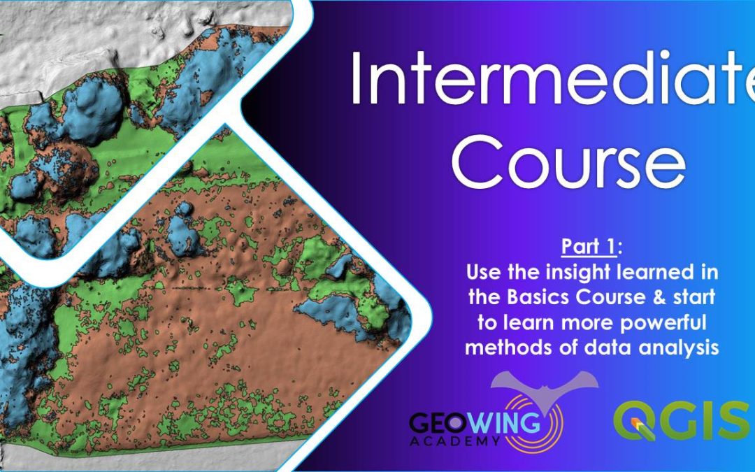

The intermediate course will look at using GIS to analyse vegetation health and quantifying vegetation data using RGB data. This will form a base line data set which can be used to monitor vegetation over time. You will need to download and install QGIS (this course uses QGIS version 3.28.14-Firenze) and Cloud Compare ( this course uses 2.12.4 Kyiv, Stereo) from the Software/ Hardware Requirements page to complete this course. It is recommended that you complete the Foundation course before attempting the Intermediate course. Here we will look at how to use photogrammetry outputs to
HERE WE WILL LOOK AT HOW TO USE PHOTOGRAMMETRY OUTPUTS TO
This course will take you an estimate of 3 hours to complete
PART 1
1. Introduction
2. Indexing
3. Raster Calculator
4. Understanding output
5. Data tables
6. Data Reclassification
7. Cleaning data (sieving)
8. Study site isolation
9. Thresholding data
10. Data quantification using raster data
– Zonal Stats
– Exporting data to Excel
11. Data quantification using vector layers
– Converting raster data
– Visualising digitizing
– Field calculating data
– Stats By Category
– Data analysis in Excel
Course Duration: 41:50 minutes
PART 2
1. Introduction
2. Modified Photochemical Reflectance Index
3. Understanding Histograms
4. Visualising 3D data
5. Preparing map data for reporting purposes
6. Sub-sample a section of vegetation & visualise plant heights (an introduction to Cloud Compare)
Course Duration: 30:10 minutes
Free data is provided for this course
(check Course System Requirements page to make sure your computer can run the programs and therefore the data set)
This course will provide you with a good understanding of how to conduct large scale vegetation health surveys and how to package the quantified analysis outputs into base line reports.
DATA DOWNLOAD SECTION
Download the Data Sets, before continuing with the course.
Download Raw UAV Image Data Set
Download Pregenerated Map Data Set