I started out my drone journey using the DJI Spark. Bought while working on farms in Australia to film and photograph my adventures in the beautiful Aussie Outback, I never thought this compact little pocket sized bumble bee would be the start of a career shift into all things computers, drones and fancy pants software some two years later. At the time I was a bush baby, a farm lad if you will, lover of open spaces and working with my hands and therefore a “technophobe”. The mere thought of a computer being used for anything other than watching a film or documentary was a total waste of time. I mean, you can’t go wrong with a pen and paper right? Even opening a Word document made me want to regurgitate my breakfast onto the keyboard!
Well that all changed in 2019 didn’t it?! Upon discovering the world of photogrammetry at a drone workshop hosted by a CAA registered drone pilot licensing outfit, my mind was completely blown and my outlook on all things tech-related changed completely! Laptops and computers were no longer these annoying devices that scrambled your Word document when trying to change a heading, or a stupid thing that pinged at you when something on the clipboard didn’t fit the requirements for Excel for no apparent reason. Now they were actual tools, with software I could get behind. I just had to learn it all…from scratch…without any assistance.
The world soon went mad and fell on its arse when 2020 hit and that actually gave me the time I needed to take a deep dive into all things drones, photogrammetry and GIS. I was OBSESSED! The more I researched drone hardware, photogrammetry software and GIS applications the more I thought “well there seems to be no end to what you can apply these tools to. If this is what people use the software for regarding satellite data analysis, then up-to-date high res drone data is a whole other universe that can be tapped into!” So I started looking for drone GIS-related stuff on the internet and the results were very few and far between. There was loads of stuff about photogrammetry software like Pix4D, Drone Deploy and the big players, but nothing about actual geographic information systems software (GIS) analysis of drone data. It was up to me to figure it out the old school way with good old trial and error. Man did that little Spark fly, I mean A LOT!
I learned everything I could about the Spark and tested everything practically; image overlaps, flight altitudes, flight speeds, camera settings, gimbal angles, flight patterns, nadir mapping missions, cross hatch missions, 3D modelling missions and did this for the millions of drone mapping applications that I could think of across different fields (but primarily in conservation as that is my background). I maxed out so many 1-month free trials, using different email addresses for photogrammetry software platforms that allowed them at the time, that I have lost count. That Spark taught me the basics and the more advanced stuff too. I have a soft spot for the wee quadcopter. So much so that it now sits on my desk next to me as I type this, its tired batteries unable to hold a charge for more than 5 minutes, scars incurred from countless small crashes, its long front sensor ever watchful, ever ready for one last flight. A retired veteran of the skies and a reminder of all the lessons learned that got me to this point. What a wonderful piece of technology.
When the world started to open up again and the madness subsided (in 2021, 1.5 years later in my country), the prospect of droning for conservation and other fields was becoming a more serious consideration and Sparky was not only worn out, but was also not the right tool for the job(s). Even if she was in full health regarding batteries etc, her limitations for serious work were already obvious. The flight time limited the area she could cover at any given time, her light weight frame could only withstand moderate winds, her 12MP rolling shutter camera was not quite up to the job and DJI had limited the on-board GPS metadata stamping to the images to only 4 decimal places which meant that the maps rendered in photogrammetry software were so far off the mark that even ground control points (GCPs) could not correct the georeferenced error.
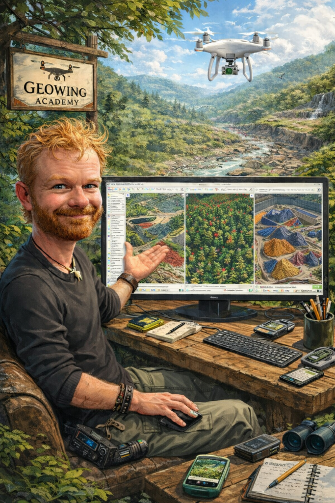
Time for an upgrade then. And there was a clear winner at the time; the DJI Phantom 4. Everything I listened to, read about, watched and digested from hundreds of billions of podcasts, articles and YouTube videos all said that this drone was the best all-rounder for photography, videography, mapping and modelling. Some experts at the time even went as far as to say that the drone would be the workhorse of the decade and maybe longer. Funny, they weren’t wrong! I was lucky enough to find the Pro V2 which was the latest version of the drone at the time (production had stopped in 2019 due to upgrades to hardware frames, the compact Mavic frame taking the place of the chunkier Phantom range. Steady advances made to hardware and software allowing drones to become more compact).
The Phantom 4 range, in particular the Phantom 4 Pro V2, is still my work horse for many projects in 2026 and there are a number of good reasons why:
- It works perfectly well! So why would I get rid of it? Many folks may say, “Well you have to keep up with the times”. I don’t agree in this case; the drone still flies, still works with my mission planner apps and captures exceptional image data and the batteries are still good, even though they are old.
- The 1-inch CMOS 20MP camera sensor allows for incredible stills image detail and fabulous RGB colour capture which is perfect for not only mapping, but professional photography as well in JPEG and DNG (RAW). Video is up in 4k, 60 frames per second for epic scenic or action shots.
- The mechanical shutter stops movement in images dead in their tracks. A rolling shutter causes a rolling (warping) effect in the image and this does have an effect on your photogrammetry outputs even though most photogrammetry software nowadays does compensate for rolling shutter. Remember, your subject may be moving slightly in the wind and the drone is moving while mapping as well so stopping everything dead rather than having a warped effect is ALWAYS better (see Foundation Course for more). Most of the newer drones come with rolling shutters and mechanical shutters are only available on very expensive enterprise models.
- Epic obstacle avoidance. The sensors, although admittedly not as good as their newer counterparts, are still excellent and stop or avoid obstacles very well.
- Being an older drone it is 3rd party app friendly so when it comes to mission planner apps, you have a wide choice. Many modern drones will only run using the flight planners made for that model and the software comes with an annual subscription fee so even though you have spent billions on the latest drone, you still don’t get free software with it (mostly in the enterprise range of DJI drones including the Agras range).
- The OcuSync 2.0 C2 link transmission is still very, very good! The picture is clear, the telemetry display is grand and it works very well indeed for my needs even at range.
- It is solid in the air and flies steady in stronger wind conditions.
- You can still buy them for a good price second hand and if they have been looked after and the battery maintenance kept up the drone will go a long way! They are affordable.
- When ground control points (GCPs) are used, georeferenced accuracy is still survey grade; however it does require extra steps compared to modern RTK drones. But even RTK drones benefit from the addition of GCPs.
I could go on but I think I have made my point in terms of the pros. But there are some cons and as with any good reasoning, these have to be considered too:
- The support services for these drones are, as of 2023 no longer available. That means major software and firmware improvements will no longer be conducted. However minor mandatory compliance updates will continue.
- Spare parts are no longer produced. However, these drones were incredibly popular so you can still get spares.
- This might be the big one for the future. Three of my 5 batteries are still good and I can still get about 16 – 20 mins out of them before landing between 20 and 30% (never go below 20% battery use!! It will kill your batteries faster and if you are a commercial pilot, you may have to file an emergency report). So that’s still around the flight time of the battery when the drone came out. The other two still last for about 15 minute a piece which is still very impressive considering the amount of flying the drone has done. Battery maintenance is critical with older drones. Problem is, I won’t be able to get more when these eventually die.
- It is not as compact as the modern drones which make it more cumbersome to take around in the bush when mapping remote areas.
- It is loud! Compared to modern airframes the Phantom is a loud drone, this is not ideal when mapping sensitive species or flying in areas where you want to keep noise to a minimum. They really piss off elephants!
Other than these, the notion still stands. The DJI Phantom 4 Pro V2 was and still is a fabulous piece of kit and in my mind still relevant in 2026. And you must admit, whenever you see a sign depicting drone operations, drone sales, “no drone zones” or anything to do with flying robots, the silhouette is usually that unmistakable frame.