
In the past I did a number of preliminary dam site survey scans for the local municipality. At the time they were looking to construct new dams for farmers that were expanding due to population increase to the region; more people= more crops = more water. I would generate the usual; contour maps from drone DTMs and did some basic analysis of the site.
I always knew that there was more that could be done for the client with the drone data in GIS but I wasn’t exactly sure what. I then decided to look at the big picture and what questions needed to be answered in the preliminary stages of looking for dam sites.
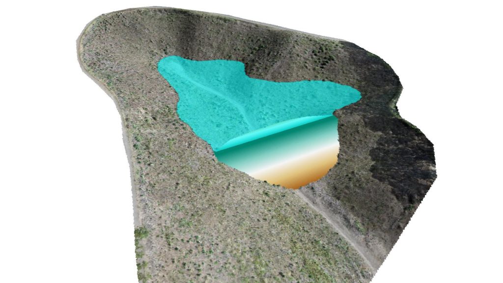
The client would need to know things like; “how much water would this site hold if the wall was built there, what would the wall dimensions need to be if it is a cement or earth dam, how much material will be needed to construct the wall, what are the depths?” And so fourth.
Open source software allowed me to construct virtual dams extremely quickly with answers to all of those questions. See the short video below (the entire workflow run time shown here runs in real time; 6.97 seconds) and have a look at the sample PDF here. It would be great to have your feedback on this type of workflow.