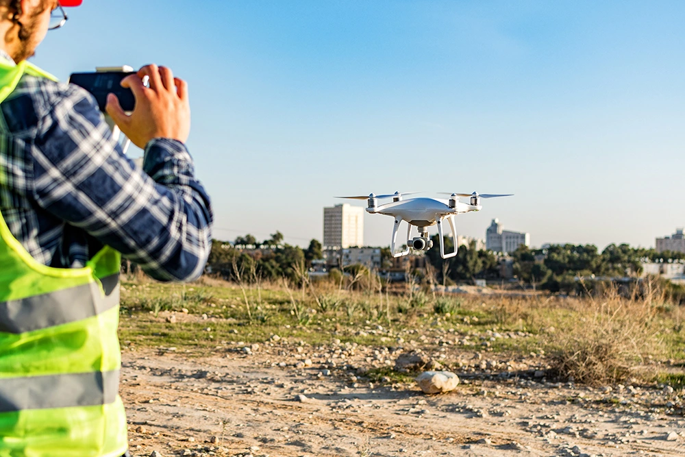
While living in Australia in 2017 I purchased my first drone, a DJI Spark to be precise. My intentions were to document my travels around the beautiful country and compile short videos of my adventures. I was astonished at how many features were packed into such a small flying camera; obstacle avoidance sensors, ground sensors, gesture control – which allows you to fly it like a Jedi using the force – automated flight patterns that allow for super smooth orbits, spirals and “dronie” shots, panoramic photos, 360-degree immersive images and object tracking, where the drone will fix onto a subject and follow it.
On my return to South Africa in 2019, I thought I had a pretty good understanding of what I could do with wee Sparky but little did I know that I was yet to learn about the true power of UAVs as data capture platforms, not just a flying camera that captures pretty pictures of holiday travels.
A local newspaper informed readers that a drone company was doing a crash course in drones and their capabilities as tools for the provincial government and first responders. If an interested party wanted to join, they could write to the company and give a reason as to why they are interested in joining the event and if successful would get a free spot at the table. I wrote in saying that I would like to learn a bit more about drones for conservation work as that is my background and I could already see that having an eye in the sky would be of some benefit in some way shape or form. I got the spot and off I went.
At the end of the day my mind was completely blown away. It was now very clear just how powerful drones and accompanying software could be as data capture platforms for conservation applications. I knew then that I had found my calling, but I had no one to show me how to do things properly, so I started teaching myself. 2020 came along and the world suddenly stopped and, like everyone else on earth, I had a lot of time on my hands. I went through every podcast, blog, scientific paper, YouTube video and article I could find on drone photogrammetry and drone flight automation. I got in direct contact with software developers who designed some of the software platforms I was trying to understand. I flew countless missions with my Spark to learn what worked best for conservation needs and started teaching myself how to use Graphic Information Software. I had to make sure that what was being projected in the digital data accurately represented what was happening in the real world so I did hundreds of vegetation transects, took thousands of measurements and got very sunburnt in the process (always remember your hats and sunscreen ladies and gents).
Initially it was very slow going as I was quite computer illiterate and I also had no one to simply show me how to do some of the things I was intending to do with the data. I had a little help here and there, but for the vast majority of the time, drones and in-depth drone specific GIS were (and possibly still are) not very well known as conservation tools, so trial and error were the name of the game. I maxed out so many trial versions of photogrammetry software platforms using different Google accounts and eventually could not get any more free trials (I must not have been the only person in the world to do this as the companies quickly cottoned on and used the IP addresses etc to stop people getting free trials this way). I could not afford the high prices of these software packages, including the GIS packages I needed to figure everything out. Then I stumbled across open-source software and what an absolute game changer that turned out to be. I am incredibly grateful to the developers for putting together such incredibly powerful software for anyone and everyone to use.
Knowledge is there to be shared and, in my opinion, environmental knowledge is the most important knowledge to share. After all, without Mother Nature, we would not exist so let’s use technology to assist us in making rapid, accurate management decisions and monitor her vital signs. I have learned so much through trial and error and would like to share that with you so that you, as a conservationist, environmental enthusiast, drone operator or just someone who likes things that fly and crunching numbers as a hobby, can get a good understanding of the power of UAVs and related software in a number of different courses ranging from the bare basics through to the advanced without having to spend months doing so.
To my loving and supportive family, I could not have gotten here without you. I am forever grateful.
“The tree which moves some to tears of joy is in the eyes only a green thing that stands in the way. Some see nature all ridicule and deformity, and by these I shall not regulate my proportion. But to the eyes of the man of imagination, nature is imagination itself.”
– William Blake