In recent years, the combination of off-the-shelf consumer drones, open-source photogrammetry, and GIS (Geographic Information System) software has revolutionized several industries. These technologies offer affordable, efficient, and highly accurate methods for data collection and analysis. Here, we explore their applications in environmental management, mining, agriculture, forestry, and other sectors.
Environmental Management and Planning
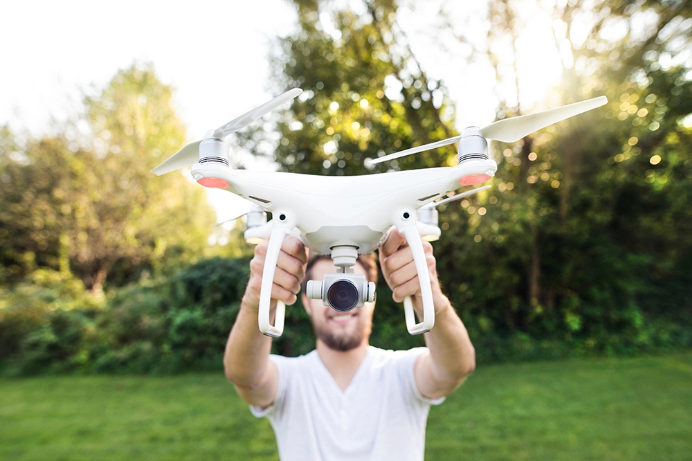
Consumer drones equipped with high-resolution cameras can capture detailed images of landscapes. By using open-source photogrammetry software like OpenDroneMap, these images can be stitched together to create 3D models and orthomosaics which can then be analysed in open source software such as QGIS.
Example Data and Analysis:
• Land Cover Classification: Identifying different types of vegetation and land use.
• Habitat Monitoring: Assessing the health of ecosystems and tracking changes over time.
• Coastal Management: Mapping erosion and planning interventions.
• Invasive plant management: Locating, quantifying and eradicating invasive alien plants.
Mining
Drones have become invaluable in the mining industry for their ability to safely and quickly survey large areas. Open-source GIS software such as QGIS can be used to analyse the data collected.
Example Data and Analysis:
• Volume Calculations: Determining the amount of material extracted or the volume of stockpiles.
• Safety Monitoring: Inspecting high walls and other structures to ensure stability.
• Site Planning: Creating detailed maps for planning new excavations.
Agriculture
Precision agriculture has greatly benefited from drone technology. Farmers can use drones to monitor crop health, assess irrigation needs, and plan planting strategies.
Example Data and Analysis:
• Crop Health Analysis: Using NDVI (Normalized Difference Vegetation Index) to assess plant health.
• Field Mapping: Creating accurate maps for planning planting patterns and irrigation.
• Pest and Disease Detection: Early identification of pest infestations or disease outbreaks.
• Crop management: Spraying and fertilising crops using agriculture drones.
Forestry
In forestry, drones provide a means to monitor forest health, plan logging activities, and conduct wildlife surveys without disturbing the ecosystem.
Example Data and Analysis:
• Tree Inventory: Counting and classifying tree species.
• Forest Health Monitoring: Detecting signs of disease, pest infestation, or drought stress.
• Wildlife Habitat Mapping: Identifying critical habitats for conservation efforts.
Other Industries
Beyond the primary examples, drones and open-source software are finding applications in numerous other fields:
Real Estate
Real estate professionals use drones to create stunning aerial views of properties, providing potential buyers with a unique perspective.
Construction
In construction, drones are used for site surveys, cut & fill analysis, progress monitoring, and creating accurate topographic maps and change detection models.
Archaeology
Archaeologists use drones to survey excavation sites and create detailed maps of historical sites without disturbing the ground. Archaeologists are using very sophisticated ground penetrating radar systems to see below the ground or LiDAR sensors to see beneath tree canopies in dense jungle.
Conclusion
The integration of consumer drones, open-source photogrammetry, and GIS software has opened new possibilities across various industries. These technologies provide a cost-effective and efficient way to gather and analyse data, leading to better decision-making and more innovative solutions. As the technology continues to evolve, its applications will only expand, bringing even more benefits to diverse fields of use.